Contents
Overview
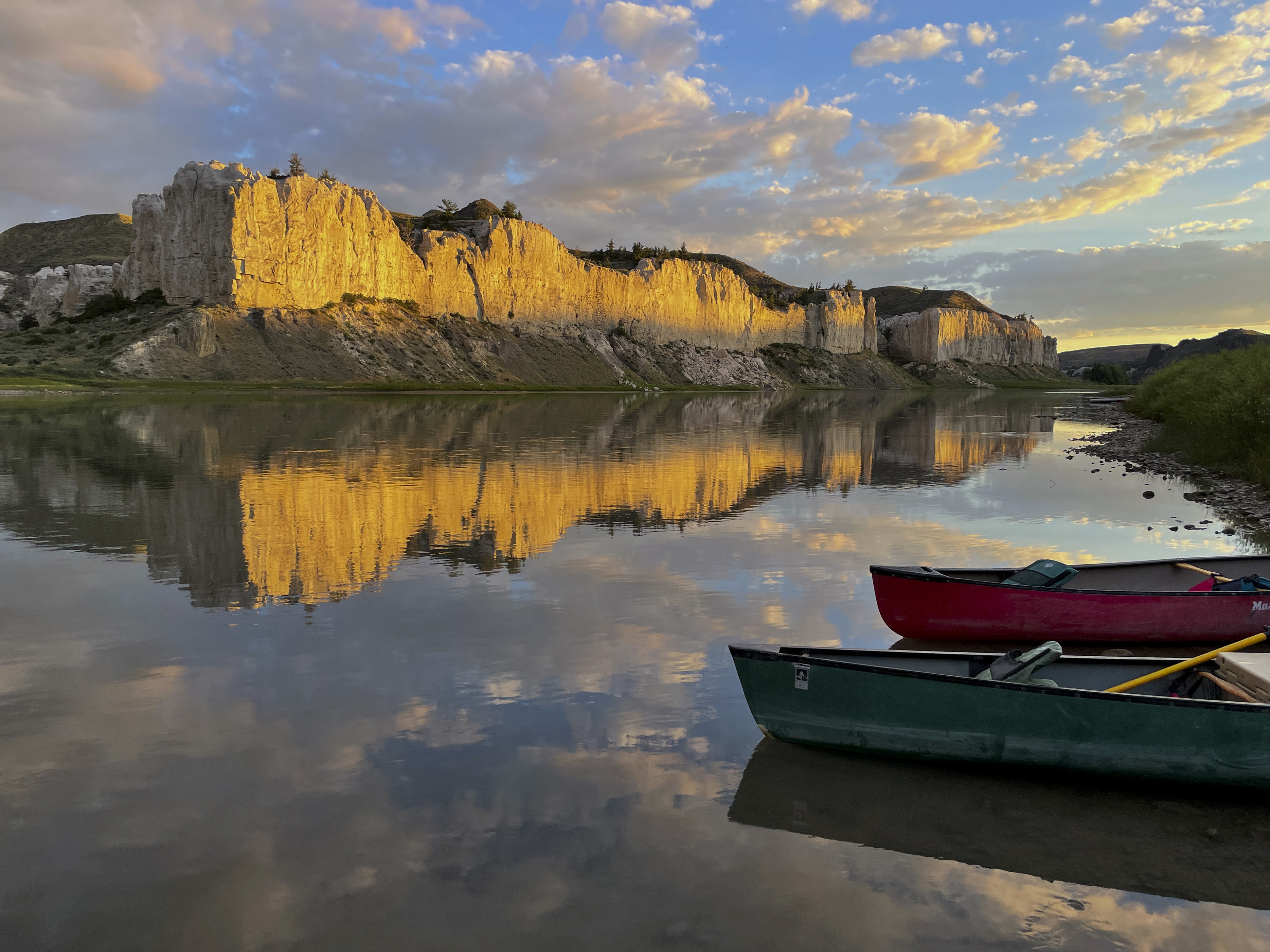
Indigenous peoples, including the Mandan, Hidatsa, and Sioux nations, thrived within its fertile floodplains and along its tributaries, developing sophisticated agricultural and hunting practices. Early European exploration, including the Lewis and Clark Expedition, charted the river's course and opened the West to American expansion. The subsequent century saw the basin transformed by steamboat traffic, the establishment of forts like Fort Union Trading Post National Historic Site, and the relentless push of settlement, often at the expense of native populations and the river's natural state. Massive federal projects, including the Pick-Sloan Missouri Basin Program, fundamentally altered the river's hydrology through dams and reservoirs.
⚙️ How It Works
The Missouri River Basin functions as a colossal natural plumbing system, collecting precipitation and snowmelt from the eastern slopes of the Rocky Mountains and channeling it eastward and southward. Its primary artery, the Missouri River itself, is fed by numerous major tributaries, including the Yellowstone River, Platte River, and Kansas River. The basin's semi-arid climate means that water availability fluctuates significantly, making management crucial. The Pick-Sloan Missouri Basin Program is the dominant engineering feat, comprising dams and reservoirs, including the massive Garrison Dam and Fort Peck Dam, which regulate flow for flood control, hydropower generation, irrigation, and navigation. These structures have profoundly reshaped the river's natural meanderings, creating vast impoundments and altering sediment transport, impacting downstream ecosystems and the river's characteristic muddy appearance.
📊 Key Facts & Numbers
The sheer scale of the Missouri River Basin is staggering. It drains an area exceeding 500,000 square miles, making it the largest tributary basin in North America and the fourth-longest river system globally when combined with the Mississippi. The Missouri River itself stretches for 2,341 miles, carrying an average annual discharge of approximately 45,000 cubic feet per second at its mouth. The basin's watershed spans parts of ten U.S. states—Montana, North Dakota, South Dakota, Nebraska, Iowa, Kansas, Missouri, Colorado, Wyoming, and Minnesota—and two Canadian provinces, Alberta and Saskatchewan. Hydropower generated from its dams provides a significant portion of the electricity for the Upper Midwest, with the system producing an average of 10 billion kilowatt-hours annually. Irrigation within the basin supports over 6 million acres of farmland, crucial for crop production like corn, soybeans, and wheat.
👥 Key People & Organizations
Numerous individuals and organizations have shaped the destiny of the Missouri River Basin. Early explorers like Meriwether Lewis and William Clark provided the first comprehensive accounts of its geography and inhabitants. Key figures in its modern transformation include Arthur E. Morgan, the first chairman of the Tennessee Valley Authority, whose ideas influenced river basin development, and Lewis Berry, Sr., a prominent Mandan leader who advocated for tribal water rights. The U.S. Army Corps of Engineers and the Bureau of Reclamation are the primary federal agencies responsible for the management and operation of the basin's extensive infrastructure, including the dams and reservoirs authorized by the Pick-Sloan Missouri Basin Program. Environmental advocacy groups like the Missouri Riverkeeper and Great Plains Tribal Water Alliance work to protect the river's ecological health and ensure equitable water distribution.
🌍 Cultural Impact & Influence
The Missouri River Basin has profoundly influenced American culture and identity. It served as a primary highway for westward expansion, immortalized in tales of steamboat captains and frontier life. The river's rich biodiversity and dramatic landscapes inspired artists, writers, and filmmakers, from Alfred Jacob Miller's paintings of the fur trade era to Ken Burns's documentary series The West. For Native American tribes, the river and its basin are sacred lands, integral to their spiritual beliefs, cultural practices, and historical narratives, a connection often overlooked in mainstream historical accounts. The basin's agricultural output also underpins a significant portion of the nation's food supply, making it a silent, yet essential, contributor to the American way of life, even as its waters are increasingly contested.
⚡ Current State & Latest Developments
In 2024, the Missouri River Basin faces a dynamic confluence of challenges and opportunities. The ongoing impacts of climate change are leading to more extreme weather patterns, with periods of severe drought punctuated by intense flooding, straining the capacity of the basin's flood control infrastructure. For instance, severe drought significantly impacted reservoir levels, affecting hydropower generation and irrigation supplies. Simultaneously, efforts to restore ecological health are gaining momentum, with projects focused on improving fish passage and reconnecting floodplains, such as initiatives along the Lower Yellowstone River. Debates over water allocation, particularly between upstream agricultural users and downstream municipal and ecological needs, remain a persistent issue, exacerbated by increasing demand and variable supply. The U.S. Army Corps of Engineers continues to adapt its operational strategies to these changing conditions, balancing competing interests.
🤔 Controversies & Debates
The management of the Missouri River Basin is a perpetual source of controversy, primarily centered on water allocation and ecological impact. Upstream states often prioritize agricultural irrigation and hydropower, while downstream states and environmental groups advocate for increased flows to support navigation, municipal water supplies, and endangered species like the pallid sturgeon. The Pick-Sloan Missouri Basin Program itself has been a lightning rod for criticism since its inception, accused of devastating native fisheries, displacing communities, and altering ecosystems without adequate consideration for environmental consequences. Furthermore, the historical treaties and water rights of numerous Native American tribes within the basin, such as the Crow Nation and Omaha Tribe, are subjects of ongoing legal and political contention, with tribes asserting their sovereign rights to water resources.
🔮 Future Outlook & Predictions
The future of the Missouri River Basin hinges on navigating increasing water scarcity, the demands of a growing population, and the imperative of ecological resilience. Projections suggest that climate change will intensify the basin's hydrological variability, demanding more adaptive management strategies from entities like the Bureau of Reclamation. Innovations in water conservation, precision agriculture, and drought-resistant crop varieties will be critical for sustaining the region's agricultural output. There is also a growing push for greater integration of ecological considerations into water management plans, potentially leading to revised operating rules for dams and increased investment in habitat restoration. The long-term viability of the basin's navigation channel, a key component of the Pick-Sloan Missouri Basin Program, will also be increasingly scrutinized in light of competing water demands and potential climate impacts on river flow.
💡 Practical Applications
The Missouri River Basin's vast water resources support a multitude of practical applications. Hydropower generation from its dams, managed by entities like the Western Area Power Administration, provides essential electricity to millions across the Upper Midwest, powering homes and industries. Irrigation is paramount, with water diverted to over 6 million acres of farmland, supporting the production of staple crops like corn, soybeans, and wheat, critical for national food security. The river also serves as a vital transportation corridor, with the Missouri River navigation channel facilitating the movement of bulk commodities like grain and coal, managed by the U.S. Army Corps of Engineers. Furthermore, the basin's reservoirs offer significant recreational opportunities, including fishing, boating, and a
Key Facts
- Category
- nature
- Type
- topic